Mt. Iwaonupuri is part of the Niseko mountain range, located next to the Niseko Annupuri Ski Resort. With an elevation of 1,116 meters, the trailhead starts at around 740 meters, making the elevation gain approximately 420 meters. Depending on the amount of time you spend resting at the summit, the round trip can be completed in about three hours. Even if you take your time and enjoy taking photos, it should take around four hours. It’s a popular mountain where families with small children can also enjoy hiking.
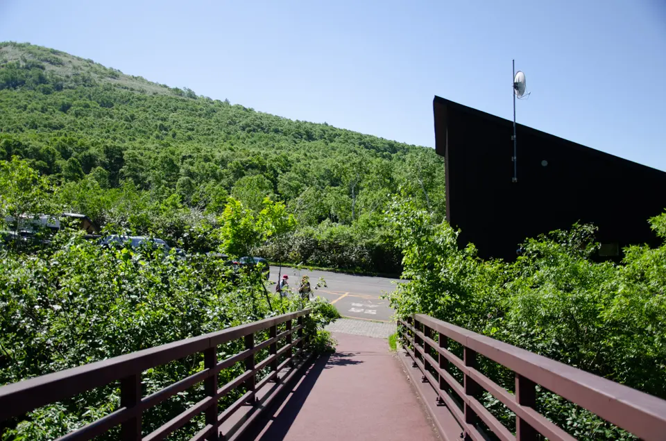
The trailhead is located above Goshiki Onsen, at a black management building where you can also obtain mountain information. There are clean restrooms, so be sure to use them before starting your hike. Parking is available in two areas: immediately to the right of the management building and further up. Do not park in the space right next to the management building, as it is reserved for buses. The area gets very crowded on sunny weekends, so arriving by around 9 a.m. will help ensure a smooth parking experience.
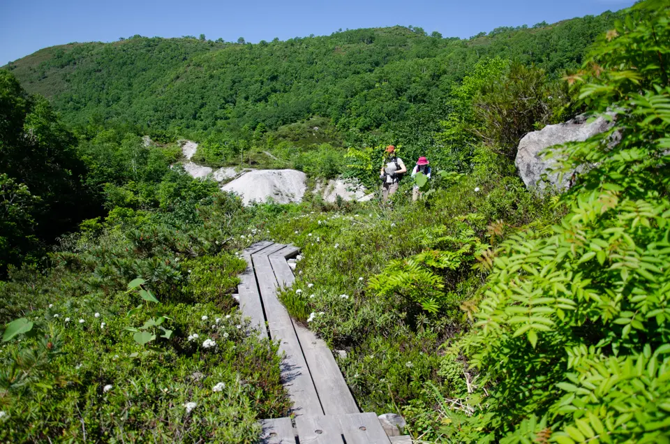
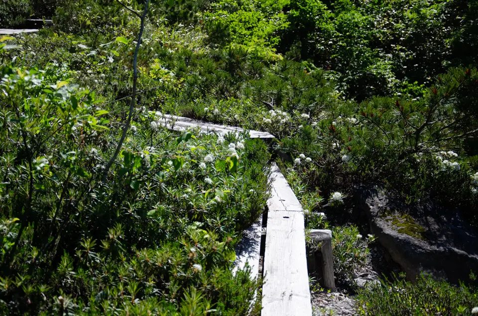
If you’re short on time and prefer a lighter hike, you can enjoy the flower fields before entering the mountain. Cross the bridge next to the management building and head to the right to find a boardwalk that loops around the flower fields. There’s an open area at the entrance of the trailhead, and descending the stairs to the left from here will lead you back to the management building. This loop takes about 30 minutes at a leisurely pace.
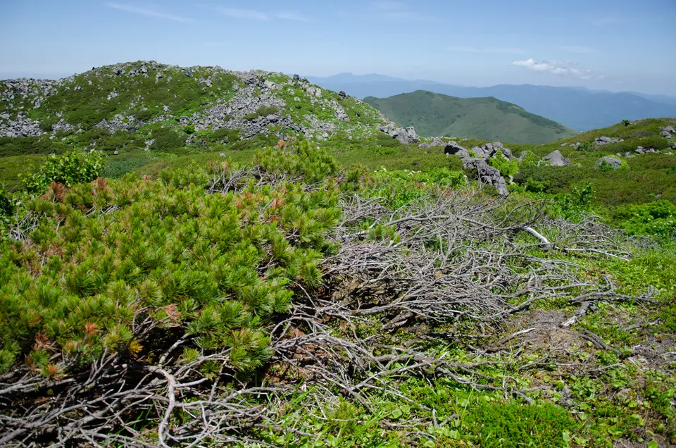
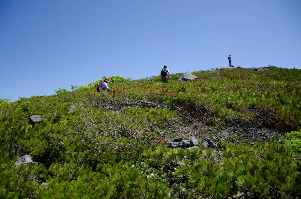
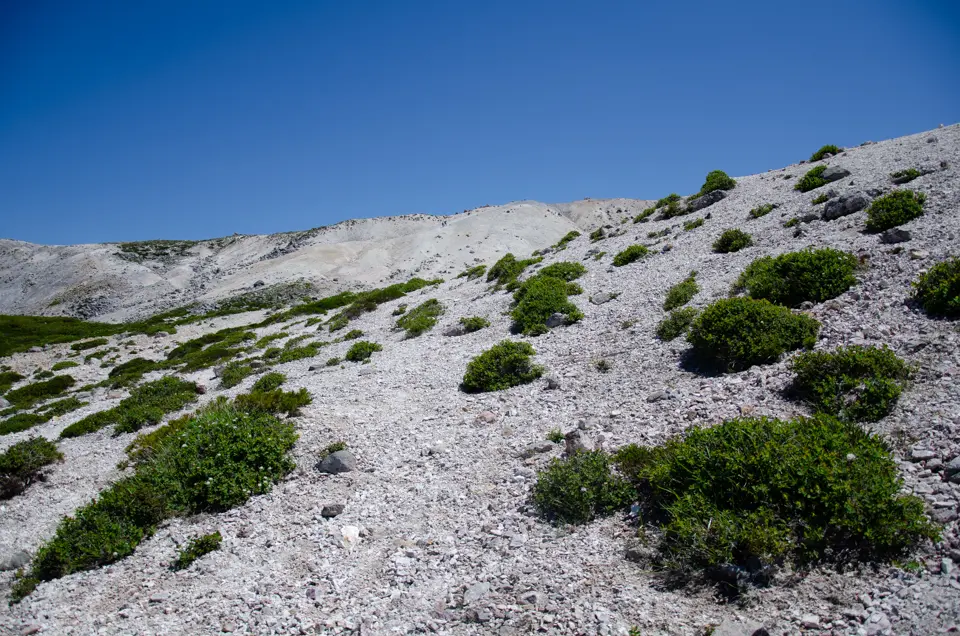
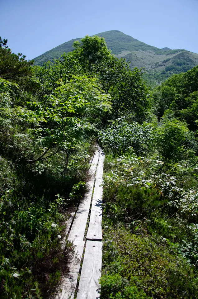
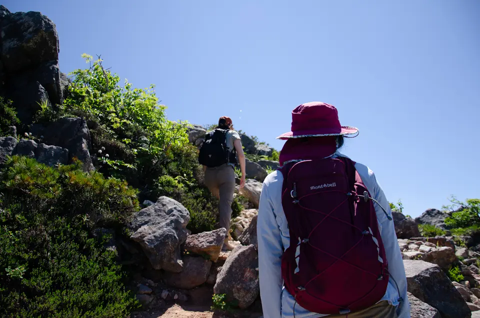
Another option is a hike to the summit. Pass through the flower fields and climb to the open area, which marks the trailhead. There’s a steep, straight staircase that you can see towering above you; be careful not to trip when descending. After this staircase, the trail becomes rocky with large boulders. When climbing, be sure to watch your head as there are thick logs lying across the path that you could bump into. I once hit my head on one of these logs and rolled down the steep left slope. Fortunately, the dense bamboo grass saved me from a complete fall, though I did drop about 5 meters.
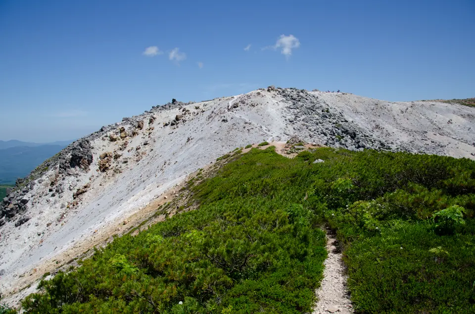
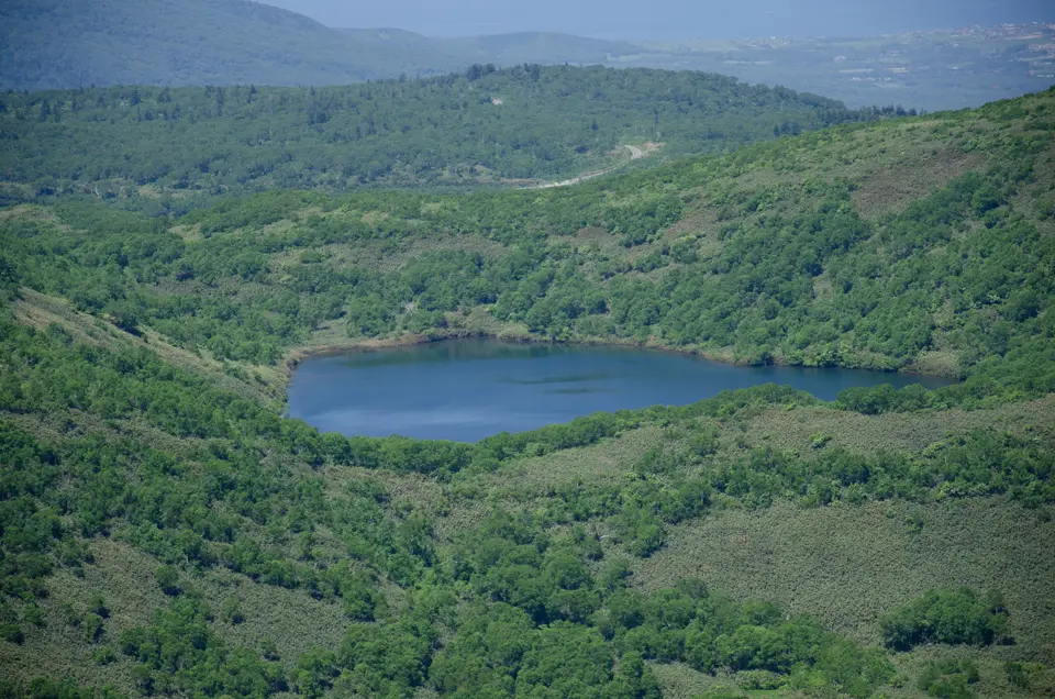
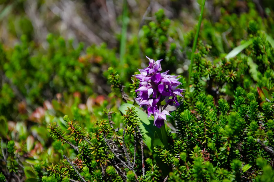
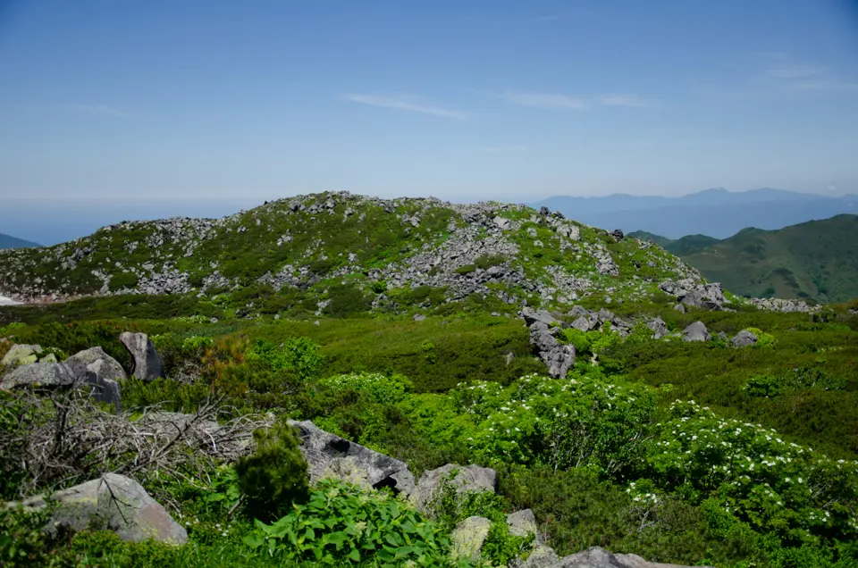
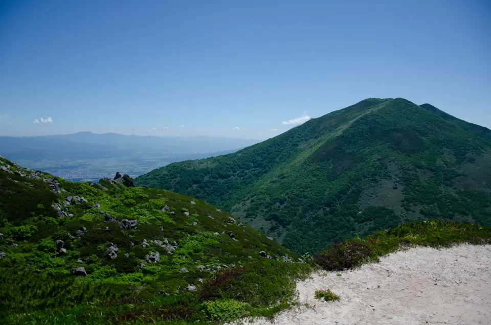
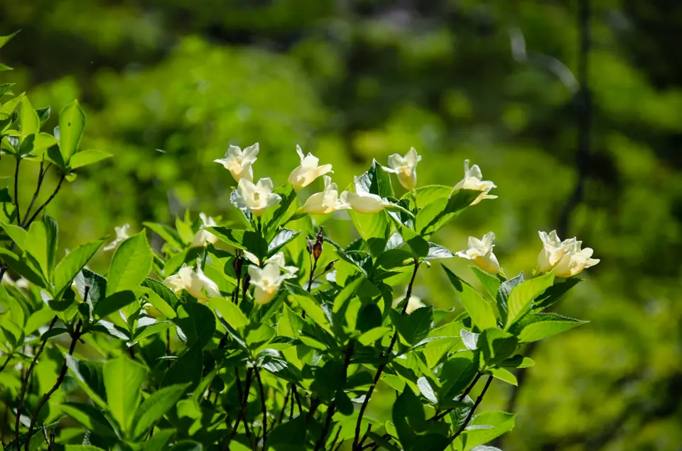
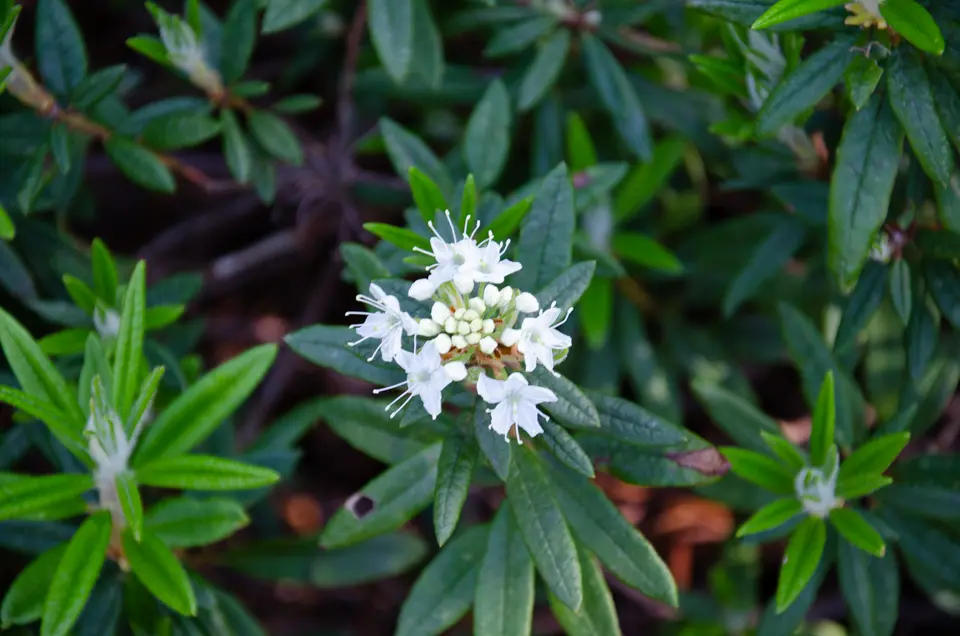
After passing this section, the incline becomes gentler, and the large rocks disappear. You’ll see many alpine plants in bloom, and as the tall trees clear, Mt. Iwaonupuri becomes visible to your right. Along the way, there’s a sign for Onuma and Goshiki Onsen; take the left path if you’re heading to Onuma. For Mt. Iwaonupuri, continue straight ahead. The slope gets steeper, and the surrounding trees disappear. The mountain face of Iwaonupuri looms ahead, making it seem like you’re almost at the top, but there’s still a bit of steep climbing to go. The trail becomes slippery here, so wear non-slip hiking shoes.
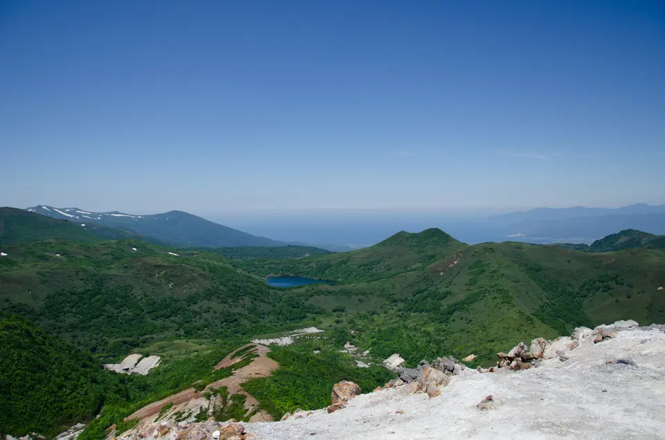
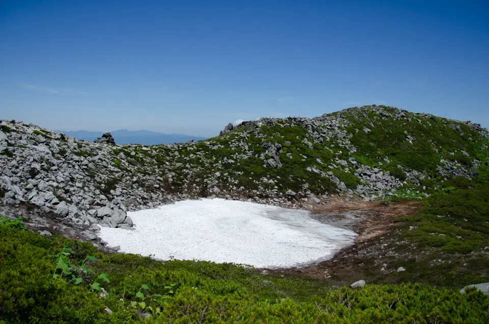
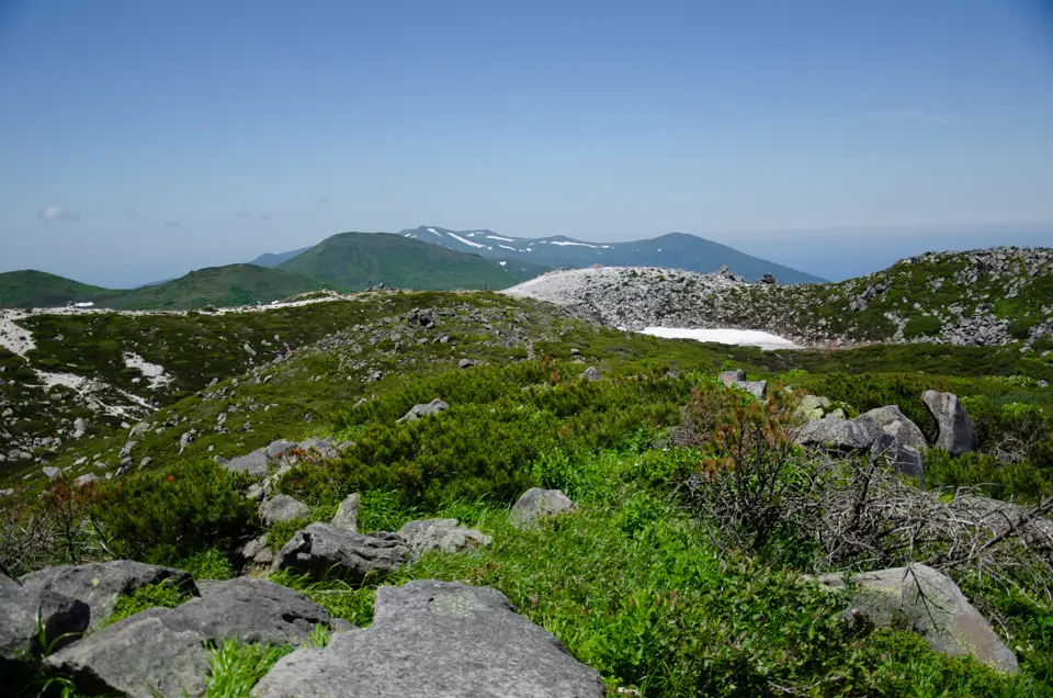
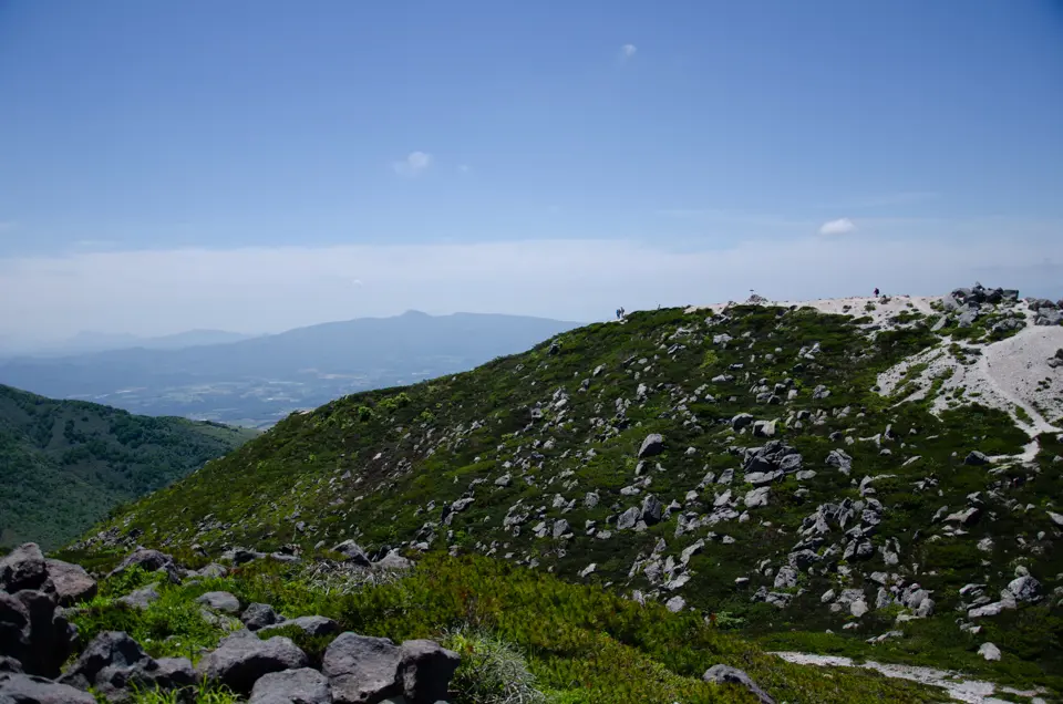
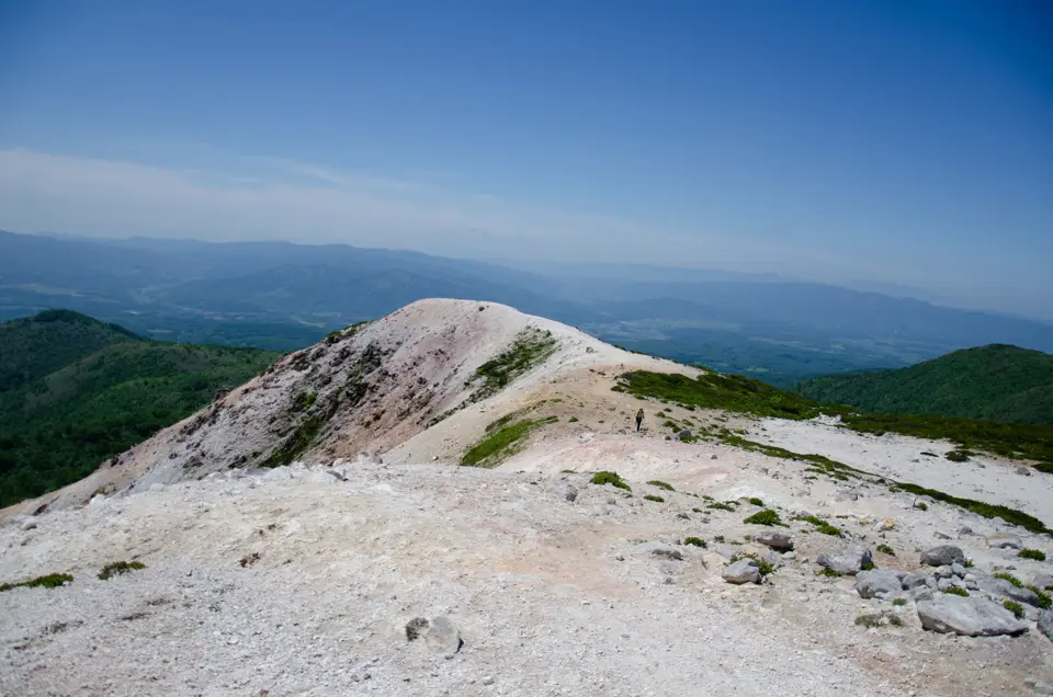
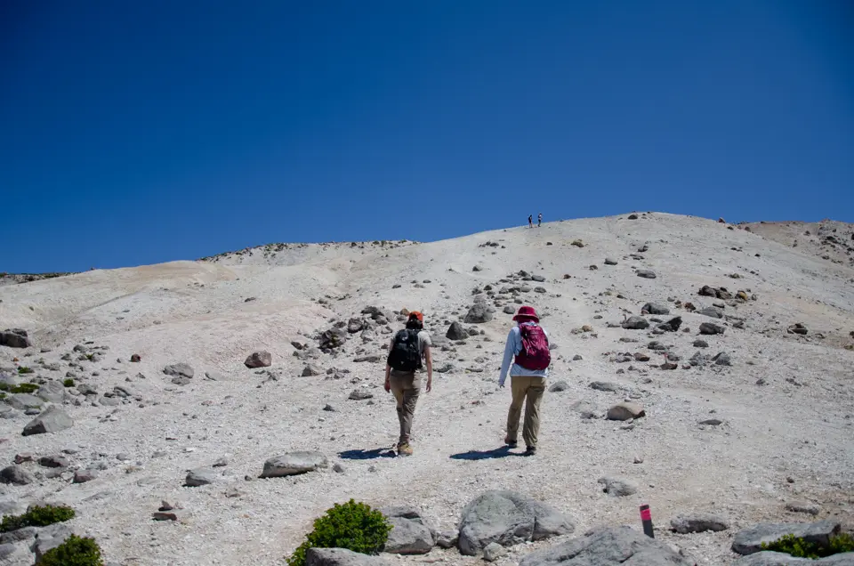
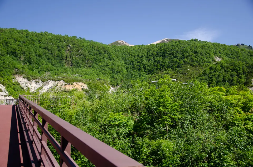
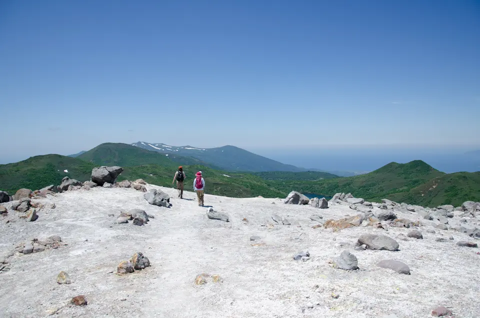
At this point, the view suddenly opens up, revealing the surrounding mountains. To the left, you can see Mt. Nitonupuri with its zigzagging trail. Until mid-June, there are still patches of snow on the summit, remnants of the heavy snowfall in the area. After passing through the rocky steep slope, you’ll reach a large open area, which is the western crater. Mt. Iwaonupuri is still an active volcano. The path splits here, but both routes will take you around the summit of Iwaonupuri.
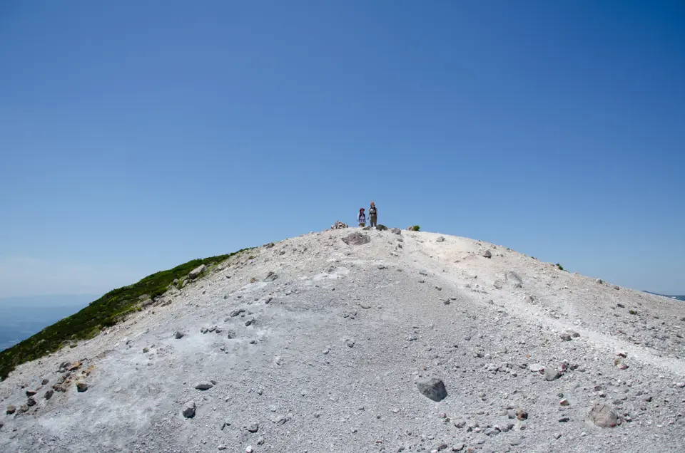
Near the summit, the wind becomes quite strong, so even on a warm, sunny day, you’ll need a windproof jacket. The weather at the summit can change rapidly; it can quickly go from clear to foggy, obscuring the surroundings. Use a GPS device to check your location to avoid getting lost.
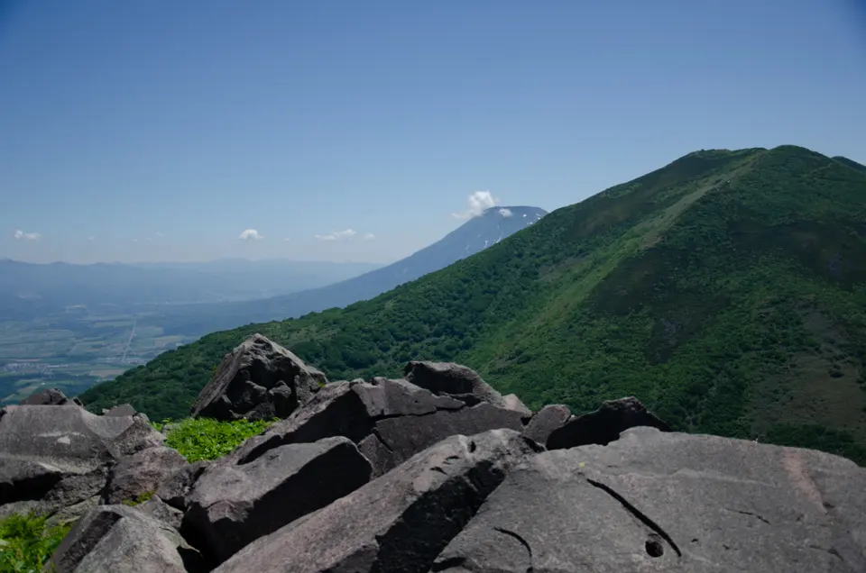
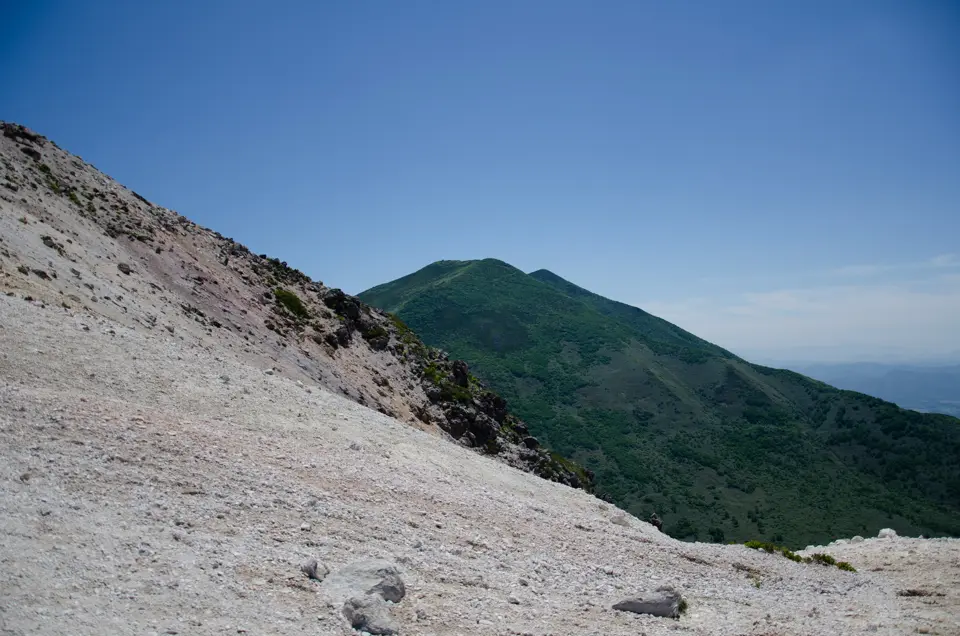
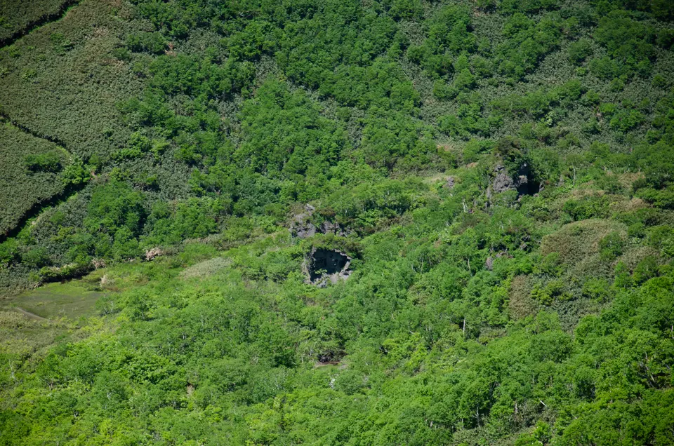
From the summit, you can see the eastern crater and Mt. Annupuri, where paragliders are often seen taking off. There are many alpine plants to enjoy at the summit, and it’s a great spot for exploration. On clear days, you can see Mt. Yotei beyond Annupuri. Despite its modest height, Mt. Iwaonupuri offers a 360-degree panoramic view of Niseko, which is why it’s so popular with visitors.
After the hike, relax in an onsen:
– Goshiki Onsen
– Grand Hotel Open-air Bath
Gear and Clothing Tips:
Even in summer, the wind at the top of the mountain can be strong and cold, so make sure to bring a windproof outdoor jacket. Mountain weather can change quickly, so don’t hike in light clothing just because it’s sunny at the trailhead. Adjust your layers as you sweat to maintain body temperature. Choose a backpack with enough space to carry extra clothes. Wear non-slip hiking shoes, as the upper part of the mountain is always slippery.
Although the round trip takes about three hours, bring at least 1 liter of water (two 500ml bottles). Sweating causes a loss of salt, which, along with dehydration, can lead to sudden heat stroke. Stay hydrated and replenish your salt levels with drops like salt charge tablets available at drugstores and convenience stores.
Related Articles
Access
Address
Niseko Town, Abuta District, Hokkaido 048-1511, Japan