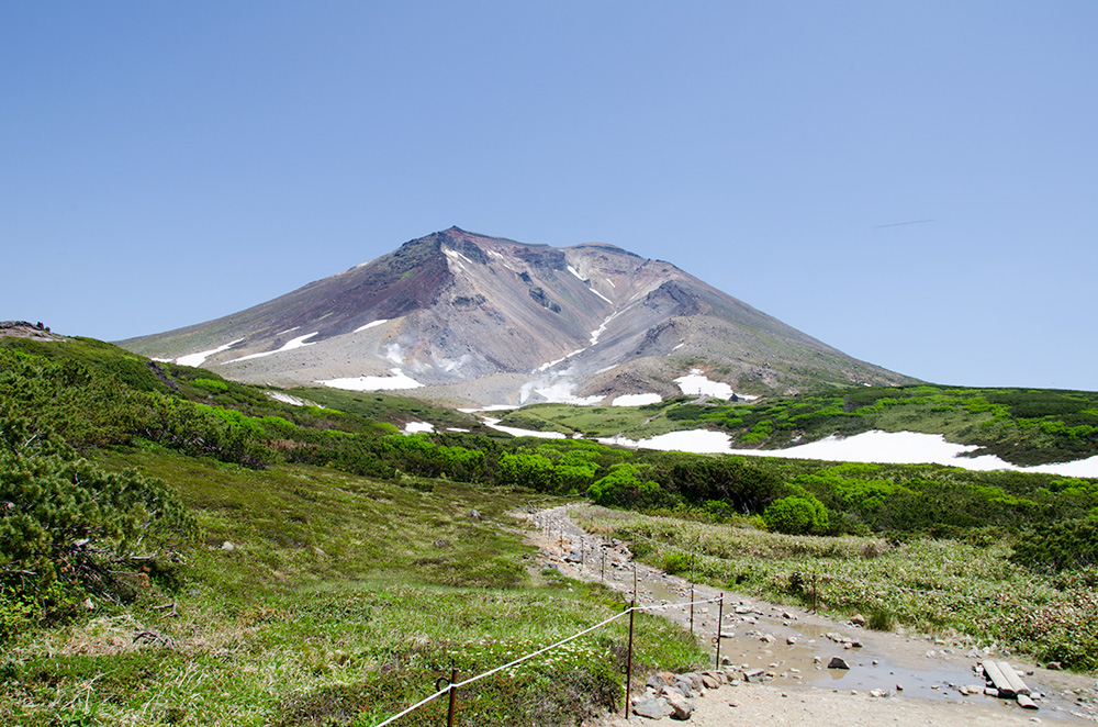
On July 11, 2015, I visited Mt. Asahidake. Asahidake is the highest mountain in Hokkaido and an active volcano monitored by the Meteorological Agency. While considered relatively easy to climb and popular, it reaches heights comparable to 3000-meter-class mountains on the Honshu mainland of Japan, offering views of numerous alpine plants amidst volatile weather conditions.
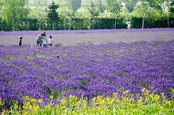
From Sapporo, it takes 2 hours and 40 minutes by car via the Hokkaido Expressway, while only 1 hour from Asahikawa. I chose a longer route via Furano from Sapporo, which took 3 hours and 10 minutes, but afforded breathtaking views of Furano, Nakafurano, and Biei. Arriving in Nakafurano before 6 o’clock in the morning, I visited the renowned lavender farm, Farm Tomita, where the lavender fields were in full bloom from mid-July to mid-August.
Access
On weekends, it gets very crowded, so it’s advisable to arrive at the parking lot by around 9 AM. It’s about a 3-hour drive from Sapporo via the expressway, and 44 minutes from Asahikawa Airport.
After enjoying the lavender fields, I proceeded to drive to Mt. Asahidake.
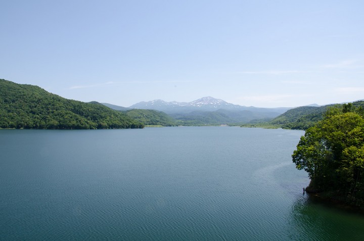
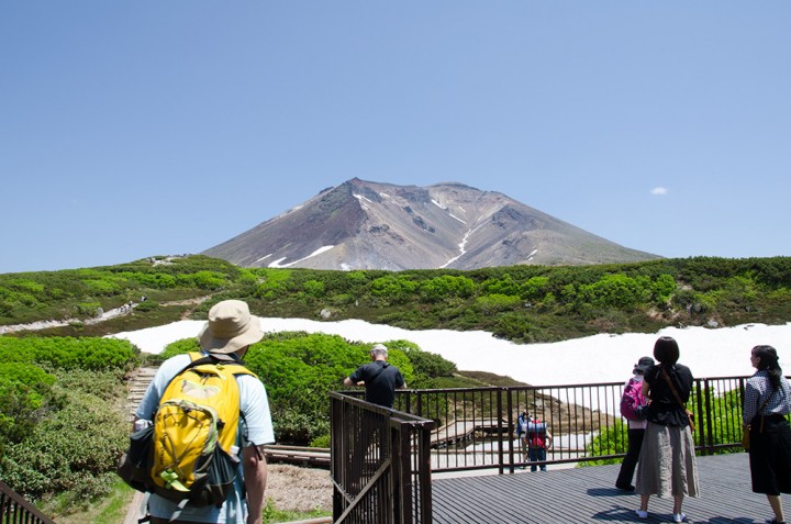
Driving past Lake Chubetsuko, Mt. Asahidake looms in the distance.
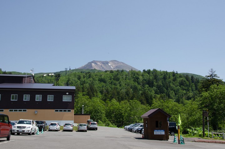
One hour’s drive from Farm Tomita, I arrived at the base of Mt. Asahidake. The parking fee is 500 yen for all-day parking.
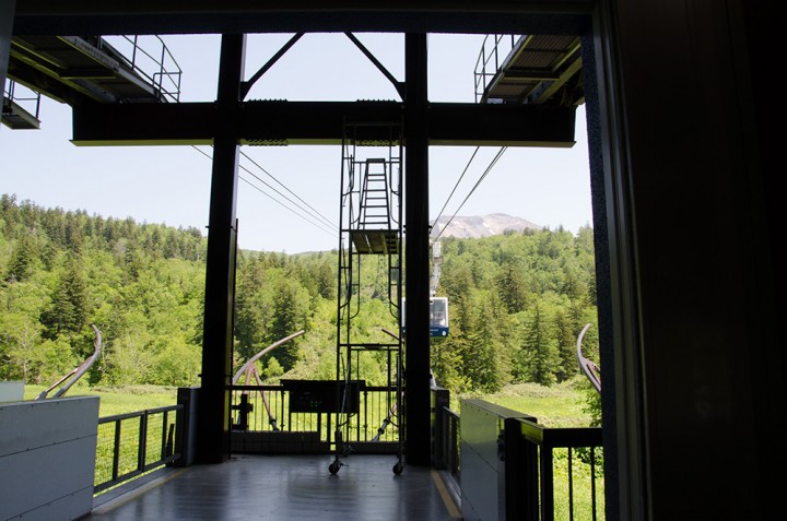
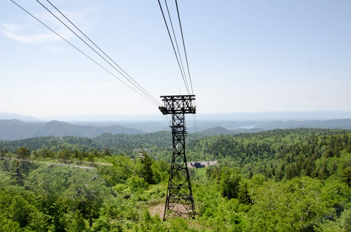
From here, you can reach Sugatami Station (姿見駅) in 10 minutes by cable car. During peak season, the round-trip fare for adults is 2900 yen. Cable cars operate every 15 minutes, but schedules and fees may vary during different seasons or holidays. Please check the Daisetsuzan Asahidake Ropeway website for more details.
In autumn, you can enjoy the beautiful panoramic scenery featuring red and yellow leaves, which typically starts at the end of August and lasts through September.
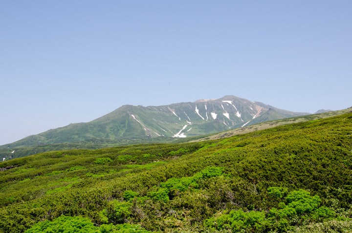
This was an exceptionally lucky day with the clearest sky and air.
The summer on Mt. Asahidake is very brief; within just a month and a half, the mountains transform into a vibrant canvas of red and yellow hues.
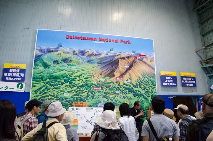
When disembarking from the cable car, the guides provide daily viewing points in Japanese only. Small maps in other languages are also available.
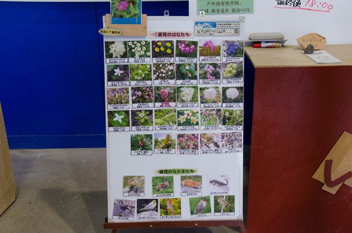
You might spot these plants and animals, if you’re lucky enough.
The most popular route is a circular trip of 1.7 km, which typically takes about 1 hour to complete. Along the way, you might catch glimpses of alpine plants and birds.
Next article
Mt.Asahidake, climbing to the summit, the highest mountain in Hokkaido vol.2
