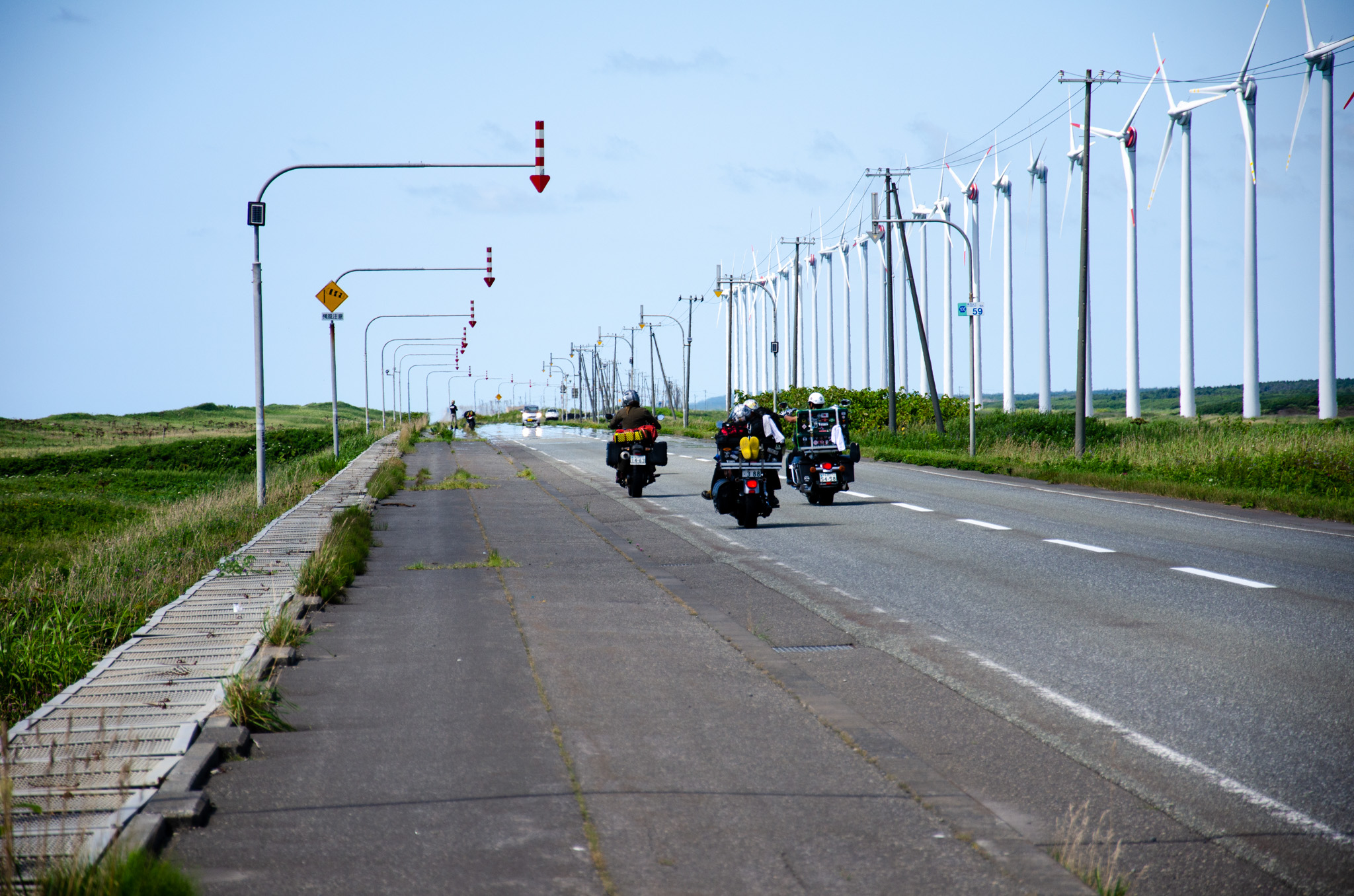
The Ororon Line refers to Routes 231 and 232, stretching from Ishikari City to Teshio Town in Hokkaido. Known for its breathtaking scenery and refreshing summer breezes, this route is cautioned against for novice or tourist drivers during winter due to icy conditions and potential white-outs, which pose dangers even to local residents.
The term ‘Ororon’ originates from the Uria aalge, a seabird species found on Teuri Island near Haboro Town in north-west Hokkaido. Locally, it is often referred to as ‘Ororon-cho’ (オロロン鳥).
From Haboro Harbor, accessible via ferry, you can visit Teuri and Yagishiri Islands, both renowned for their stunning beauty and abundant wildlife. These islands offer numerous opportunities for outdoor activities and exploration.
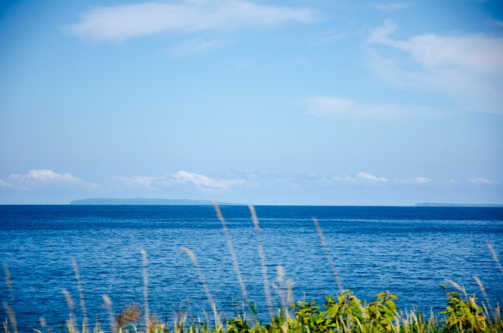
While driving from Obira Town to Tomamae Town, you can spot two islands in the distance: Yagishiri Island to the right and Teuri Island slightly left of center.
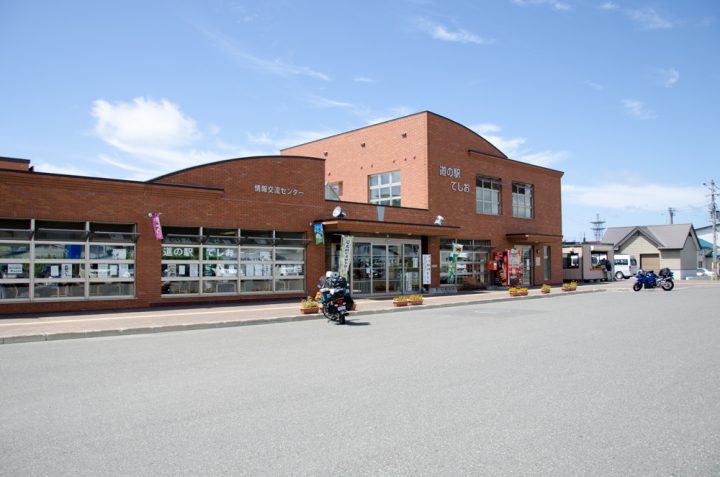
above, Michi-no-eki Teshio(道の駅てしお)
“Michi-no-eki” is a type of roadside station designed for drivers, offering a variety of local goods including vegetables, rice, meat, crafts, and more. It also provides 24-hour access to restrooms.
Moreover, you can obtain valuable local information about restaurants, sightseeing spots, and other points of interest. Recently, these stations have started to offer English booklets and sometimes information in other languages such as Chinese or Korean. It’s a highly convenient facility that shouldn’t be overlooked during your travels.
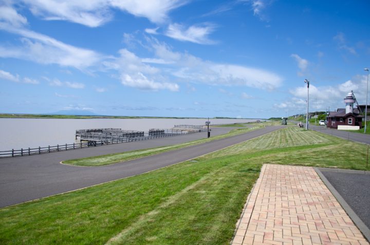
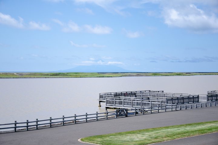
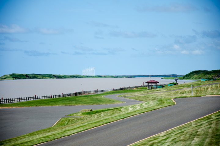
Teshio River, the 2nd longest river in Hokkaido. This is the mouth of Teshio River.
You can see Rishiri Island far away over the river.
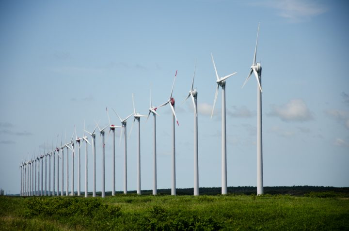
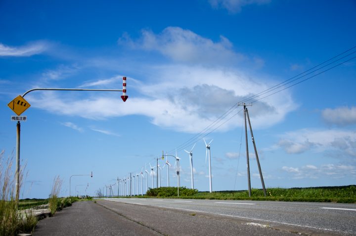
Driving north from Teshio, you’ll encounter the Otonrui Wind Power Station, a line of large wind turbines.
This stretch of road is exceptionally straight, flanked by striking white wind turbines. The refreshing sea breeze from the Sea of Japan enhances the driving experience, particularly enjoyable for cyclists.
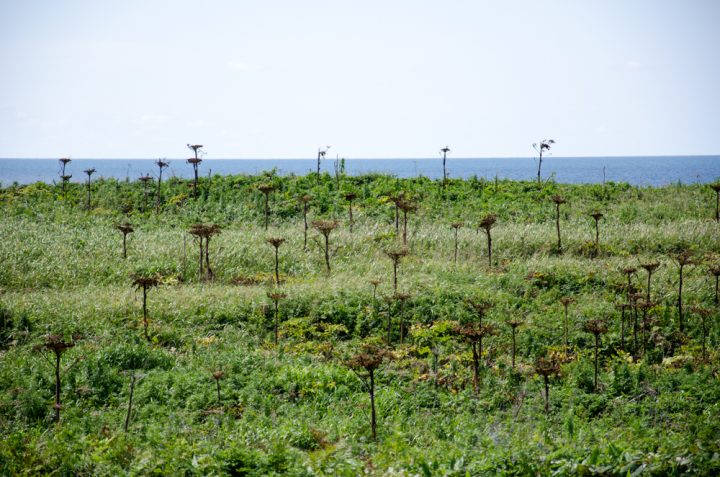
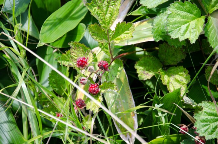
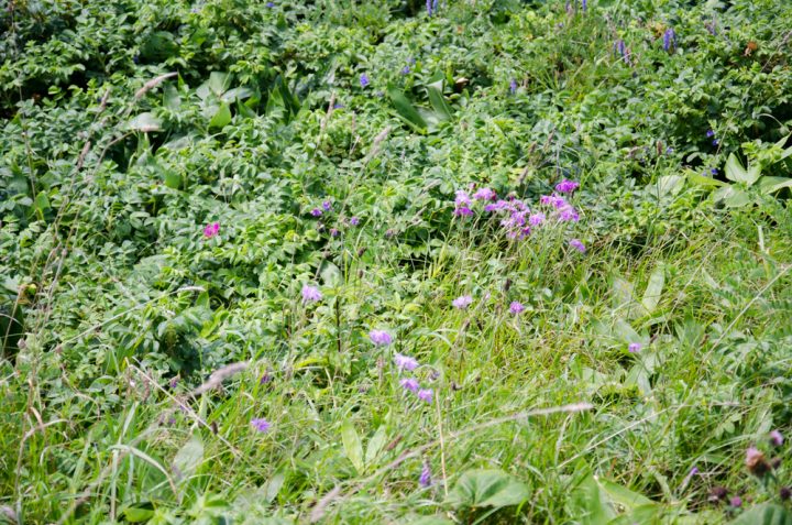
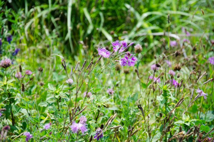
Stop your car and take a moment to look around: from June to August, you’ll discover numerous beautiful flowers adorning the roadside.
After Otonrui, you’ll pass by Panke Marsh and Penke Marsh on your right side. Unfortunately, they’re not easily visible from the road due to the surrounding bushes. If you’re interested in seeing them, it’s recommended to check Google Maps or other maps for their exact locations.
These marshes are situated within Sarobetsu Plain.
Related Articles
Exploring Sarobetsu Plain: A Must-Visit Destination in Northern Hokkaido
Hanada Banya: Hokkaido’s Largest Lodging House for Herring Fishermen
